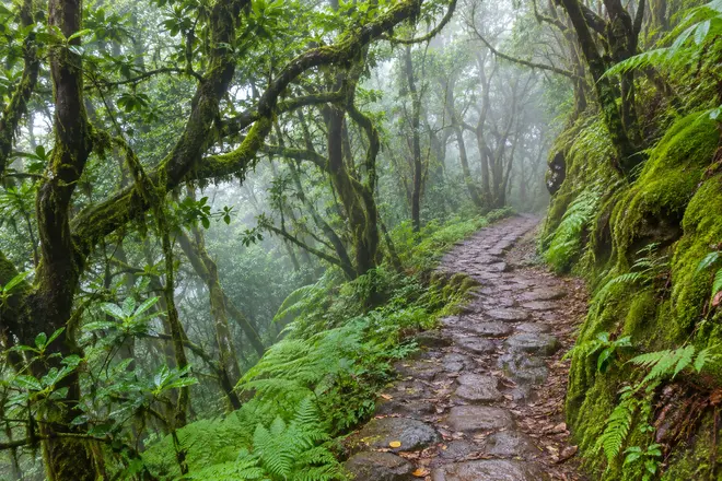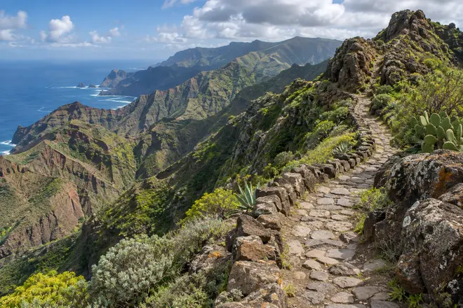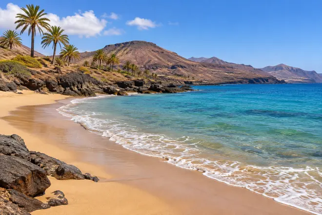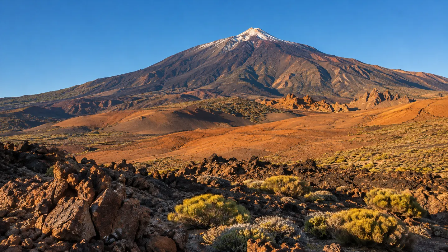
A mountain rising out of the middle of the Atlantic changes the way you experience an island. Leave the last village behind and climb towards Teide, and banana plantations give way to pine trees. The trees start to thin out, then open expanses of bare rock appear. There is little shade in Las Cañadas. The sea, a constant presence during a holiday in Tenerife, lies hidden behind the terrain or the clouds. It is a remarkable change of landscape within an island of this size.
Teide National Park is a place to take your time and, importantly, to decide how far it makes sense to walk. Reaching the summit is not compulsory. A visit confined to the caldera can be as rewarding as the most ambitious ascent.
Making sense of the Las Cañadas landscape
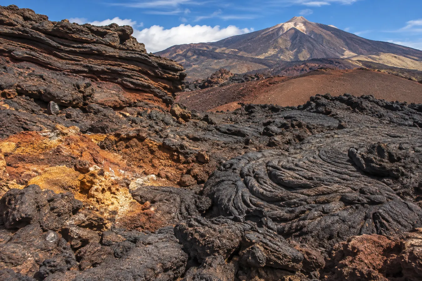
A wide depression spreads out at the foot of the cone of Teide, partly enclosed by mountain walls. Certain viewpoints reveal the scale of the formation: the main summit, Pico Viejo and a succession of lava flows with different colours, textures and degrees of vegetation cover. Lighter shades often come from volcanic materials whose composition differs from that of the darker lavas.
It is worth stopping at one of the designated parking areas before setting out on foot. Looking across the horizon helps you identify the walls of the caldera and find your bearings. The minerals that colour the rocks are more interesting when you have time to examine them, and morning and evening light reveals features that appear flat at midday.
The altitude is considerable, even at the sites that can be reached by car. Sunshine is intense and dry air does not always make you feel thirsty straight away. If your introduction to the park involves a long uphill walk, it is easy to overestimate your normal performance at sea level.
Roques de García: a walk through a landscape of contrasts
Opposite the Parador area are the Roques de García, a formation whose irregular outline contrasts with the shape of the volcano. The familiar Roque Cinchado is just one component of this group. The scene becomes particularly striking when the rocks throw long shadows across the ground.
The trail around the rocks allows you to see them from below and from different angles. It is not necessary to complete the circuit to enjoy the view, but anyone walking right around it needs to account for the elevation gained on the return section. An apparently easy descent may turn into a tiring final climb. The surface also varies, with loose stones in some places and uneven ground in others.
A morning around these rocks gives you the opportunity to alternate walking with stops to examine the geology. A small magnifying glass can be entertaining for looking at the stones along the trail without removing them. Taking volcanic fragments home as souvenirs is prohibited; photographs of their structure are a useful alternative.
Other walks on the floor of the caldera
Not all the trails in the park involve steep gradients. Near the visitor centre at El Portillo, it is possible to learn about high mountain plants and follow the local interpretive walks. Las Siete Cañadas, on the other hand, provides a lengthy journey along the foot of the caldera wall with sweeping views.
Related reading: Anaga, from laurel forest to ocean: exploring Tenerife’s rural park.
For a linear walk of any length, work out the return arrangements before setting off. An itinerary that looks straightforward on an elevation profile may require many hours of walking in the sun, and transport back to the starting point will not necessarily be available whenever you need it.
Montaña Majúa and other trails at the base of the volcanic complex bring you closer to individual formations. This terrain demonstrates the difference between following a compact path and walking on ash or scoria. Hiking boots are not excessive when the ground is strewn with loose materials.
Access restrictions can change. The trail network is extensive, but some routes require prior authorisation, and closures for weather or conservation must be respected even if the path appears perfectly passable from the road. An alternative route is better than discovering a closed section several hours into a day out.
Climbing to the summit is a different undertaking
The summit of Teide reaches 3,718 metres. From the upper cable car station at La Rambleta, the Telesforo Bravo trail leads to the peak. It is a relatively short distance but follows a steep gradient at considerable altitude.
Summit access depends on authorisation and on the operating conditions of the facilities and trails. The availability of the cable car does not guarantee that the final trail is open, nor is a summit reservation a transport ticket. Check the requirements separately.
The entire walking route from Montaña Blanca demands considerably more preparation. It is not comparable to spending a few hours walking along the seafront in Costa Adeje. For a long ascent, consulting mountain professionals and assessing the fitness of every participant is a sensible approach.
Altitude sickness may affect people who are accustomed to doing sport. A persistent headache or increasing discomfort deserves attention: do not continue climbing simply to reach your goal. Seek help if significant symptoms develop. Returning to a lower elevation may be the sensible decision.
What changes between morning and afternoon
In the early hours, the landscape often has strong contrasts between rocks lit by the sun and those that remain in the shade. It can be very cold even when people on the coast are enjoying breakfast outdoors. Towards midday, radiation increases and the dark ground can make exposed locations feel particularly hot.
Afternoon offers a different view of the landscape, with warm colours appearing on the walls of Las Cañadas. However, if your plan includes a lengthy walk, do not count on the entire route remaining in sunlight until your return. The caldera walls cast shadows, and the high mountains cool quickly after sunset.
In winter, snowfall and ice may restrict access to roads and trails. Summer brings very hot days and occasional Saharan dust. Weather on the coast is not a sufficiently reliable reference for estimating conditions at the summit.
A day in the park without rushing
From accommodation in the south, you can climb through Vilaflor and gradually pass through the Canary Island pine forest. The ascent from the La Orotava valley introduces you to another side of the park and shows how vegetation responds to the humidity of the north.
For a first visit, you might devote the morning to the viewpoints of Las Cañadas and the Roques de García. After lunch, a short walk in a different sector and time to visit El Portillo help put the plants of the park in context. Allow plenty of daylight for the return journey and, most importantly, enough time to drive carefully along winding roads.
There are too many stops to combine comfortably with a summit ascent. In that case, it is better to prioritise the ascent and leave other areas for a second visit. It is also not a good idea to combine a strenuous mountain trek with a sea excursion on the same day, especially if these activities are new to some members of the party.
Looking at the island above and below the clouds
Anyone spending a week in Tenerife can alternate two particularly contrasting days: one on the ocean and one on Teide. On the coast you consider wind, swell and the rocky sea floor; in the caldera your attention turns to the walking surface, elevation and the layers exposed in the mountains. These are two ways of reading the same volcanic territory.
For a walk around the park, a light backpack with sufficient water, food, warm clothing, sun protection and suitable footwear is a much better investment than too many objectives plotted on your map. For longer outings, take a downloaded map and tell someone outside your party about the route and planned return time.
Back on the coast, the outline of Teide takes on an entirely new meaning. The dark stones on a beach, the outline of a cliff, or a tongue of lava reaching into the ocean tell stories related to the flows of Las Cañadas. Looking at the island from both elevations leaves a more complete impression than racing around a checklist of viewpoints.
Explore next: Kayaking in Los Gigantes.