There are days in Tenerife when you seem to travel through several seasons in a few hours. One of the best places to experience this is on the road from La Laguna towards Cruz del Carmen. A clear landscape may disappear behind a curtain of fog, and on the descent to Taganana you suddenly regain the Atlantic light. Between those two extremes lies Anaga, the mountain range occupying the north-east of the island.
This rural park combines humid woodland, small mountain villages and ravines that descend towards the sea. Most of its attractions are best appreciated on foot, but the difference in elevation between them makes it unrealistic to visit them all in one day.
Cruz del Carmen and the forest of the trade winds
Cruz del Carmen is a useful starting point for understanding Anaga’s terrain and vegetation. There are short paths in its vicinity as well as longer routes connecting the forest with the old settlements of the massif. The visitor centre is a convenient place to get your bearings and check information about trails before setting off.
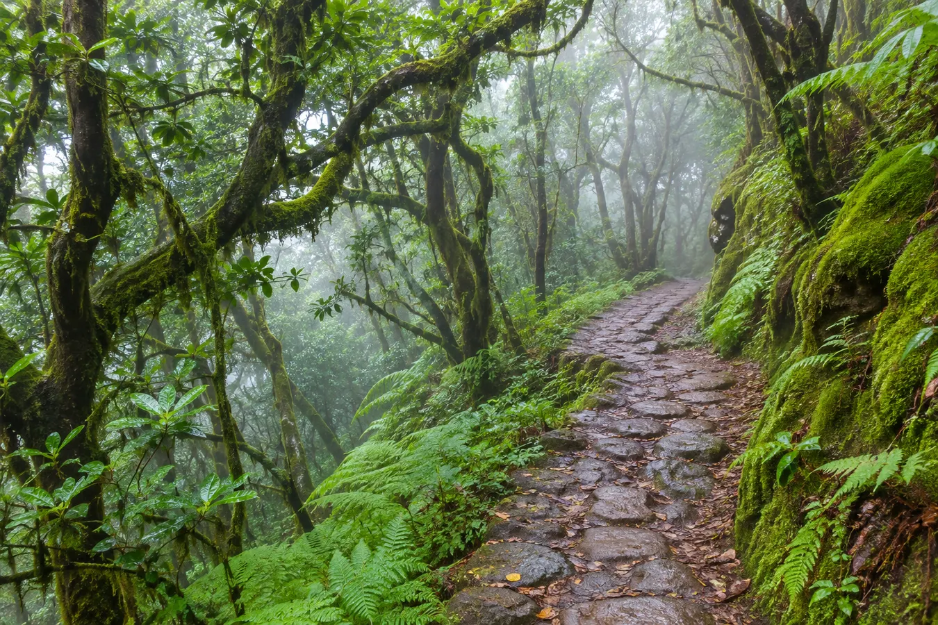
The enclosed character of the forest is not accidental. The trade winds, which carry moisture from the Atlantic, meet the slopes of the island and encourage the formation of clouds. Leaves capture tiny droplets; the soil, branches and trunks remain damp even when it is not visibly raining.
The term laurisilva describes a community of evergreen trees and shrubs, not woodland consisting of laurels alone. Species of viburnum, holly, heather and other plants accompany the trees typical of this environment. Ferns occupy areas with suitable conditions of humidity and shade.
When walking here it is worth stopping for a few minutes and listening before taking out your camera. Dripping water, the movement of leaf litter and the calls of birds all help you appreciate an environment whose appearance varies with elevation, exposure to wind and the extent of human intervention.
Trails for a first visit
The Path of the Senses consists of several routes and offers a taste of the forest without undertaking a major trek. It is a good choice when your party includes people with different interests or when the mountain visit is combined with other plans. Some sections are short and surfaced; others have gradients and uneven ground.
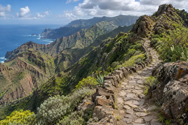
Once walks extend deeper into the mountains, the paths change in character. Some are old communication routes between settlements, with prolonged descents and narrow sections. Wet ground may be slippery, and the slope can make the return considerably slower than the outward journey.
Anaga contains areas of particular environmental protection. El Pijaral, for example, requires advance authorisation for access to specified routes. Restrictions are intended to protect a fragile ecosystem and apply regardless of whether it is a working day or whether the area seems quiet on arrival. Other trails may also be subject to temporary restrictions.
Before settling on an itinerary, check the official status of the trail and the local forecast. A line on a downloaded map is not proof that you are permitted to follow it, and it may not reflect a recent closure.
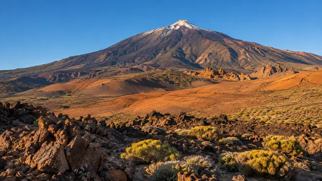
Related reading: Exploring Teide National Park on foot: trails, lava and a day in the mountains.
One road, several viewpoints
The TF-12 forms the backbone of many visits to Anaga. Around Cruz del Carmen and elsewhere at altitude there are designated viewpoints where you can appreciate the contrast between the La Laguna valley, the mountain ridges and the direction of the sea.
Long-distance views are not possible every day. Fog may hide the mountain immediately opposite. On such occasions the forest is usually more interesting than the horizon, and it is better to spend your time on a short walk if conditions are safe.
Parking spaces are limited, and some viewpoints sit close to bends. Avoid stopping outside designated areas or walking along the carriageway to obtain a better camera angle. On a winding mountain road, an extra twenty metres on foot might place a visitor on a stretch where drivers cannot see them in time.
As an alternative to private cars, plan your visit around available public transport from La Laguna and Santa Cruz. Pay particular attention to frequency and timetables, because different areas of the park do not receive the same level of service.
Villages on the hillsides
Taganana illustrates the way topography has shaped life in the massif. Houses and small plots of land adapt to the terrain, with walls that make the most of limited surfaces and steep gradients. Even though today's visitors arrive along a modern road, the arrangement of the settlements still reflects a long process of adaptation to mountain life.
Beyond their architectural interest, remember that these are inhabited communities. Small paths around houses are not necessarily public trails. Do not pass through a gate, enclosed plot or private entrance to shorten a journey.
Vegetation on the drier slopes differs from that around Cruz del Carmen. There are communities of plants adapted to other levels of humidity and sun exposure. You can see this transition by comparing the trees and shrubs at different elevations during the descent.
Local restaurants can provide a welcome stop for lunch. On particularly busy days it is useful to carry some food as a backup, especially if your walk finishes some distance from the main villages.
Reaching the sea does not mean it is suitable for swimming
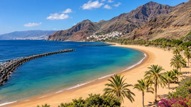
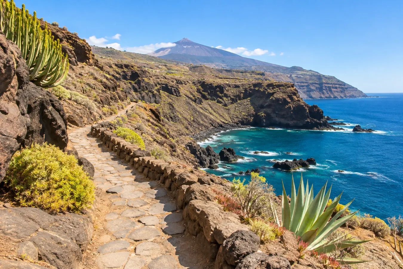
Anaga's coastline is one of its most recognisable landscapes, thanks to its rock stacks and abrupt profiles. Benijo and other beaches along the coast provide views towards rock formations rising from the water, and their dark sand contrasts with the white foam of breaking waves.
Keep the exposed nature of the Atlantic in mind. On some days, waves reach much of the beach, currents are difficult to make out from above and some areas have no lifeguard cover. An attractive beach for walking or photography is not necessarily a suitable place to swim.
Where access is permitted, stay back from breaking waves and unstable cliff faces. If the sea is rough or signs advise against bathing, the sensible choice is to remain out of the water. The quality of the scenery does not depend on completing a water-based activity.
Travellers who hope to combine hiking with snorkelling can reserve their swim for a different part of Tenerife with suitable access and information for the conditions on that day. Having the equipment in your car does not oblige you to use it on every stretch of coastline you visit.
Designing a visit around the available time
With a few hours, Cruz del Carmen and a short walk through the forest provide a good introduction to Anaga. Allow additional time for travel by road, particularly late in the morning or at weekends, when some parking areas become full.
A full day allows you to descend towards Taganana after walking in the forest, stop for lunch and spend the last part of the afternoon at a coastal viewpoint. This way of visiting gives you more time to appreciate the landscape than attempting to add several independent walks.
A trek lasting several hours requires different arrangements: identify the starting and finishing points, assess the elevation change and organise the return. On a route through different environments, waterproof clothing and an insulating layer may be needed at the beginning even if you finish in warm sunshine near the sea.
Do not count on continuous mobile phone reception in the ravines. Downloading your map, sharing information about your plans with someone outside the group and setting a sensible return time all form part of the preparation.
Anaga’s place in an active holiday
Anaga provides an excellent contrast to days spent on the south coast and in the high mountains of Teide. In the forest you need to judge damp terrain and slopes; on Teide, altitude and exposure; at sea, swell, wind and currents. These are different experiences, although they all take place within the same island.
Staying in La Laguna or Santa Cruz makes it easier to visit the north-east early in the morning. From the south, a day trip is possible, but it is especially useful to select only a few stops and avoid committing yourself to an overly tight schedule.
The best way to discover Anaga is to allow time for both the forest and the ravines, without entering restricted areas or pressing everyone in the group to reach each highlight. On an unhurried visit, the transition from enclosed woodland to the Atlantic coast becomes the thread connecting the entire journey.
Explore next: Kayaking in Los Gigantes.