On a map, the north-western corner of Tenerife looks like a small area. On the ground, its dimensions change. A road between two villages that are close together in a straight line must negotiate several slopes and bends, and a trail descending a ravine can involve a substantial trek. Teno Rural Park deserves to be explored at that pace, the one imposed by its mountains.
This territory stretches across the municipalities of Buenavista del Norte, Los Silos, El Tanque and Santiago del Teide. Its landscapes range from damp woodland and small agricultural valleys to the vast rock walls of western Tenerife. Unlike an enclosed nature reserve, the rural park encompasses villages, farmland and activities associated with rural life.
El Palmar, a valley where you can begin to understand Teno
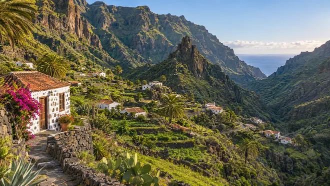
From Buenavista del Norte the road climbs towards El Palmar, one of the places where the relationship between relief and agriculture is particularly evident. Fields occupy useful areas of the valley surrounded by slopes whose steepness limits opportunities for building or working the land.
A striking feature of the landscape is Montaña de El Palmar. The cuts that can be seen in its profile show how volcanic materials were extracted in the past. It is not a mountain that has erupted recently; human activity has also shaped its present appearance.
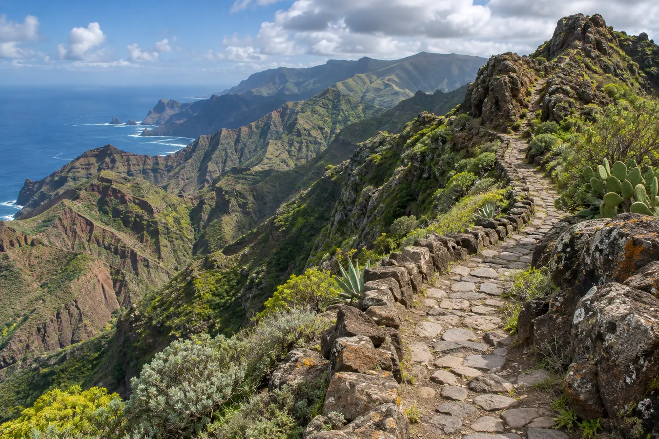
The area around the reception centre provides a good introduction to the park. Some of the trails leading out of the valley follow old communication routes and approach the mountain ridges. On these walks, pay attention to elevation change as well as horizontal distance. An ascent changes the amount of effort required and the descent may require a firm walking surface that cannot always be found.
El Palmar is more than a photographic stop. Allowing time to explore the streets and observe traditional buildings adds another dimension to the landscape. Fields are not free spaces for visitors to explore, and access routes to farms should not be confused with public footpaths.
Teno Alto and its small mountain communities
In Teno Alto you can sense the isolation that has shaped activities here for centuries. Stone buildings, small farms and rural tracks are scattered among the hills and pastures. When the weather is clear, views open up towards different parts of the massif.
Livestock is part of the landscape. Goats and herds are not a spectacle laid on for visitors; give them plenty of space, respect fences and allow the animals and their keepers to move without hindrance. Traditional local cheese reflects an economy that makes sense in relation to the surrounding terrain.
Trails leading up to or across the plateau require planning, particularly when starting from El Palmar or intending to descend one of the other slopes. Higher elevations are usually cooler than the coast, and clouds can reduce visibility within a few minutes. A sunny day on the shoreline does not guarantee a clear day at Teno Alto.
Related reading: Anaga, from laurel forest to ocean: exploring Tenerife’s rural park.
You do not have to seek out particularly long routes to appreciate this area of the park. A walk along an authorised path, with time to notice the boundaries of the fields and the types of plants growing beside the trail, may offer more context than rushing across the landscape.
Evergreen forest, scrub and ravines
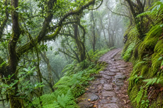
Teno’s vegetation varies considerably according to the exposure of each slope. Where moisture from the trade winds remains available, evergreen woodland develops. In other sectors, the landscape is more open and the plants are adapted to a lower availability of water.
The contrast becomes apparent when you compare a shaded slope with a hillside that receives many hours of sunlight. Sometimes it takes only a few hundred metres at different elevations to see changes in vegetation cover and the appearance of the soil. The ravines also contain habitats that may be inaccessible from the usual walking routes.
Do not enter thick vegetation to get closer to the rim of a ravine. Brambles and other shrubs can conceal sudden drops, and loose stones can dislodge and fall into lower areas. Staying on the paths also helps prevent increased erosion in an environment dominated by steep slopes.
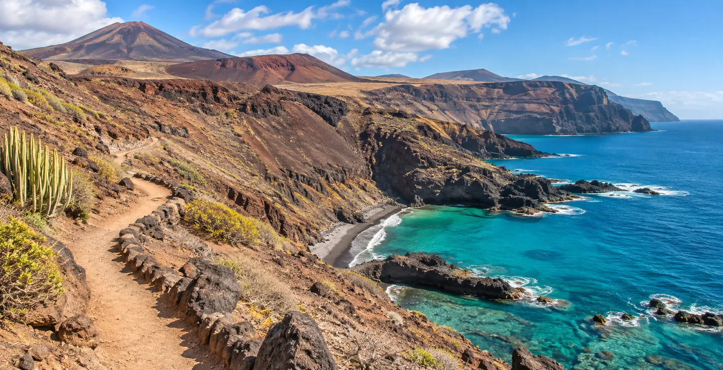
The old walking trails are historically interesting because many were communication routes used to transport food, water and other products between villages. What is a recreational outing today formed part of the daily routine of families living in Teno.
Masca and the road through the mountains
The settlement of Masca sits beside a ravine cutting deeply into the mountains. It is one of the most visited places in Teno, but reaching the village and walking through the gorge are very different experiences.
The road linking Buenavista with Santiago del Teide runs through spectacular scenery. Driving, however, demands attention. There are tight bends, encounters with larger vehicles and limited parking spaces. Drivers should not attempt to enjoy the view while negotiating a narrow corner.
Visiting Masca without exploring the gorge is a worthwhile outing in its own right. Views from designated vantage points, the public paths around the houses and a stop in the village demonstrate the way the terrain has shaped the settlement’s layout.
Walking down the gorge requires permits or reservations according to the access system in operation, and visitors must comply with equipment and transport requirements. It is an outing with specific preparations of its own, not an automatic addition to a drive around Teno.
Punta de Teno and the open sea
The lighthouse at Punta de Teno is situated at the end of a strip of land projecting into the ocean at the western tip of the island. From here you can see the profile of Los Gigantes, the continuity of the cliffs towards the south far more evident than from some inland viewpoints.
The road to the headland is subject to access restrictions that should be checked before travelling. Depending on the conditions and time of day, it may be necessary to use authorised public transport. Avoid improvising a journey late in the day or entering prohibited access areas when the direct route is unavailable.
The coast reveals a different side of Teno. Dark rock and small, low-lying expanses of lava contrast with the dramatic fall of the cliffs. However, standing beside the water does not mean that conditions are suitable for entering it. There is exposure to swell, and wet rocks may be difficult to cross.
A short visit or a stay in the north-west
If your aim is to make a first exploration, El Palmar and a walk at Teno Alto can occupy much of the day. Another option involves visiting the area around Masca, with time for stops at designated viewpoints and a meal in the village. Adding a journey to Punta de Teno depends on the access restrictions and the time you have available.
For a more leisurely exploration, stay in Buenavista, Los Silos or another town in the Isla Baja area. The proximity allows you to spend one morning in the mountains and another on the coast without repeating long journeys. It also makes it easier to change your plans if fog descends or roads are closed.
Teno makes an interesting addition to a trip to Tenerife that includes kayaking along the western coast. From the sea, you appreciate the height and continuity of the cliffs; inland, you can see the network of ravines that reach the ocean between them. Together, these perspectives tell you more about the character of this ancient mountain range than a photograph taken at a single viewpoint.
Explore next: Kayaking in Los Gigantes.