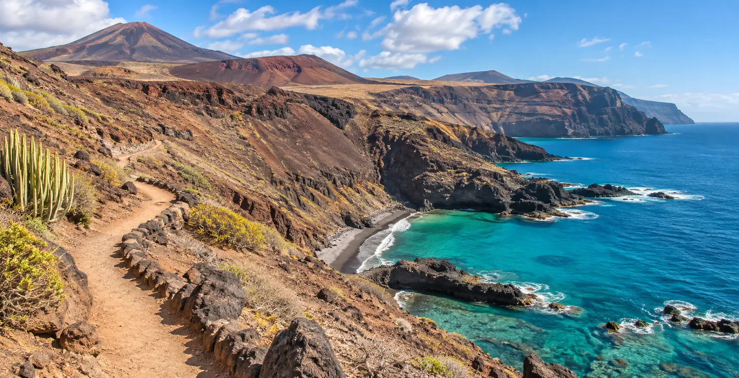
On a map of Tenerife, Punta de Teno looks like a small extension of the island reaching into the Atlantic. A low stretch of volcanic shore lies beneath much higher mountains. Here stands the lighthouse, one of the reasons many people recognise this place before they have ever visited. The peninsula looks out to sea in two directions. Turn towards the north and you see a very different section of coast from the one extending towards the cliffs of Los Gigantes. The opportunity to contemplate such varied shorelines within such a compact area is one of the best reasons to set aside a few hours for the outing.
Arrange access before setting out
Punta de Teno belongs to the municipality of Buenavista del Norte and forms part of the Teno Rural Park. The road to the peninsula is the TF-445, which passes through steep terrain and is subject to specific access regulations. It cannot be assumed that you will be able to drive along it in a private vehicle whenever you wish. Timetables, permitted travel methods and access periods can change, so check the official information and any notices relevant to your date of travel. It is possible to organise an outing using public transport from Buenavista when the relevant service is operating. Allow some flexibility in your schedule to reflect these arrangements.
These regulations have practical consequences for planning an active day. If the final section of the journey is by bus, taking large bags, sports equipment or bulky photographic gear makes travelling considerably more complicated. Before adding further activities to the itinerary, establish how you would transport the necessary belongings and whether the proposed activity is permitted. Simply marking the lighthouse as a destination on a phone is not sufficient: the journey might involve waiting, transit times and the need to return according to permitted access hours. An unhurried morning is considerably more manageable than an excursion hastily squeezed into the end of the afternoon.
Buenavista del Norte makes an interesting starting point in its own right. Its historic centre and proximity to other coastal areas mean that there is something to do while waiting for transport. There is no need to regard the settlement purely as the place where the road to Teno begins. If exceptional restrictions apply because of rockfalls, weather or conservation work, the surrounding valley still provides possibilities for an enjoyable outing on land. Do not try to bypass a temporary restriction by finding an alternative route along tracks or entering a closed tunnel or footpath.
The lighthouse and two aspects of the coastline
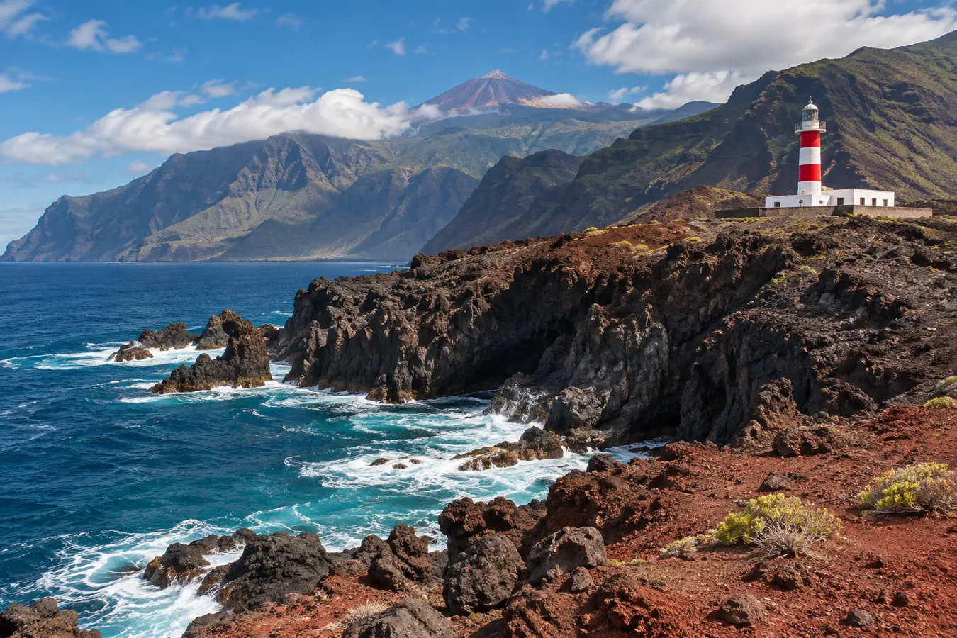
Once on the peninsula, the lighthouse provides a nearly constant visual point of reference. Its distinctive shape is easier to appreciate from a little distance, in relation to the uneven lava terrain. It is part of a working maritime installation and visitors must respect the limits on public access. The experience involves appreciating the external landscape, not entering service buildings or working areas. The colours of the tower contrast with the dark volcanic ground around it, particularly when sunlight falls across the rocks from one side. The surrounding mountains provide a background absent from pictures taken solely from the water.
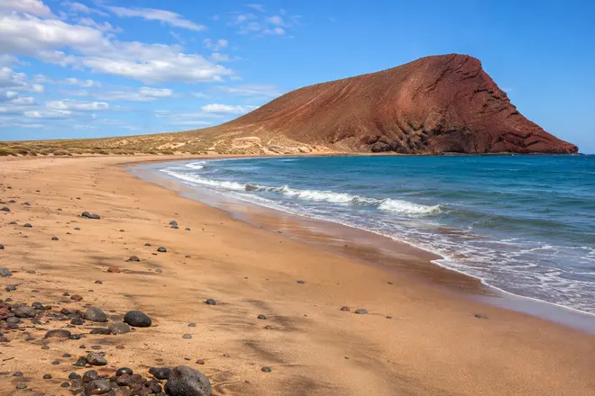
Related reading: La Tejita beach and Montaña Roja: a natural Atlantic landscape.
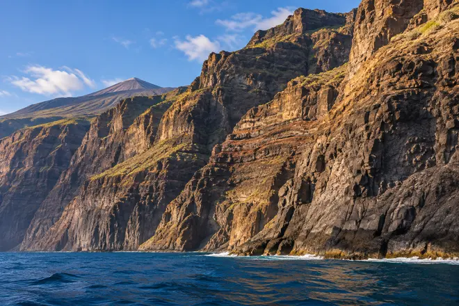
Looking south reveals the coast of Los Gigantes, with steep rock faces rising directly out of the sea. Their appearance changes with the visibility. At times you can distinguish the individual planes of the cliffs; at others the haze reduces the contrast to a succession of grey shapes. There is no need to find the day with the greatest visibility to enjoy Punta de Teno. In favourable conditions, you may also make out the outline of La Gomera on the horizon. Remaining well back from exposed edges allows you to appreciate these views in comfort. There is no obligation to approach the water's edge to make the most of the outlook.
Along the northern shore, the sights and sounds of the ocean can be much more intense. The peninsula itself does not act as a complete barrier against every direction of wind or waves. One little corner looks calm while elsewhere water is breaking against the rocks with considerable force. Observing these differences from permitted visitor areas helps explain why the position was significant for navigation, but you need not explore every rock to do so. When you change position on firm ground, the lighthouse takes on a different shape and its relationship with the hills behind it becomes more apparent.
Swimming, marine excursions and conditions at the point
The presence of small, apparently calm sections of water explains why some visitors are interested in combining Teno with water activities. Nonetheless, the point is surrounded by the open sea and belongs to a protected natural area. There is an essential difference between a spot visible and physically accessible from land and one where entering the water is permitted and appropriate. Local conditions can change quite quickly, particularly when the wind changes direction or the swell increases. Do not climb down onto a wet lava shelf in search of an alternative way into the sea if the usual access is difficult or closed.
For anyone wishing to explore the shoreline by kayak, the transport arrangements and exposure to the sea add to the technical requirements of the activity. People without experience should not improvise an independent outing. Before making such a plan, they would need information about the regulations and authorisations for the protected area as well as appropriate training and knowledge of the conditions on the day. An impressive view of Los Gigantes is no indication that a crossing towards the cliffs would be straightforward. Alternatives during a stay in western Tenerife include professionally organised outings from suitable harbours and numerous land-based visits.
On a day of heavy seas, Punta de Teno can still offer an interesting landscape to observe, provided that no closures or warnings indicate otherwise. In such conditions, it is particularly important to stay out of the reach of the waves. Choose safe vantage points well away from platforms close to where waves are breaking. If the authorities have closed a section of the coast, it makes no difference whether you have suitable footwear or have seen other people go beyond the barriers. Replacing the outing with a visit to an inland viewpoint is a sensible change of programme rather than a reason to disregard restrictions.
What to carry and how much time to allow
A visit to the lighthouse can be planned around a small backpack containing water, something to eat and sun protection. Natural shade is limited on the volcanic platform, and the breeze does not remove the effects of the sun. A windproof layer is useful if you intend to make lengthy stops to look at the surroundings. Shoes that protect the feet provide greater comfort than light beach sandals when exploring authorised access routes with uneven surfaces. It is also worth bringing enough battery power for your phone to check transport details, although you should not depend on permanent mobile reception for finding your way.
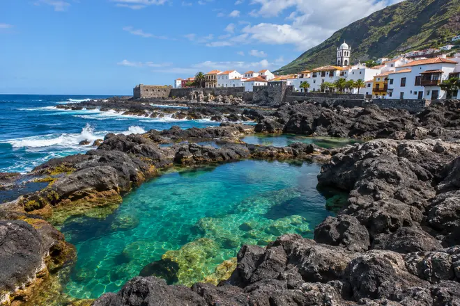
The amount of time worth spending here depends less on the size of the area than on the combination of transport times, transfers and the environmental conditions. Instead of trying to visit several places far apart on the same day, you might enjoy setting aside the Teno excursion as the main activity and completing the outing with time in Buenavista. Visitors continuing towards Garachico will discover a different scene, an old town looking onto a volcanic shore with natural seawater pools. The point works well as part of a longer stay in the west and north-west of Tenerife. The lighthouse is the recognisable image of this small corner of the island, but looking at its surroundings reveals the different scales of the island's landscape.
Explore next: Kayaking and snorkelling in Tenerife.